Peatland ecosystems store approximately twice as much carbon as all the world's forests combined, yet degraded peatlands actively emit CO2. Restoring them is essential for meeting climate targets, but traditional mapping and monitoring methods cannot scale. New Gradient developed AI systems for peatland restoration mapping and digital carbon verification, in partnership with Caledonian Climate Partners and backed by Innovate UK and UK Space Agency grants.
Manual mapping limits restoration at scale
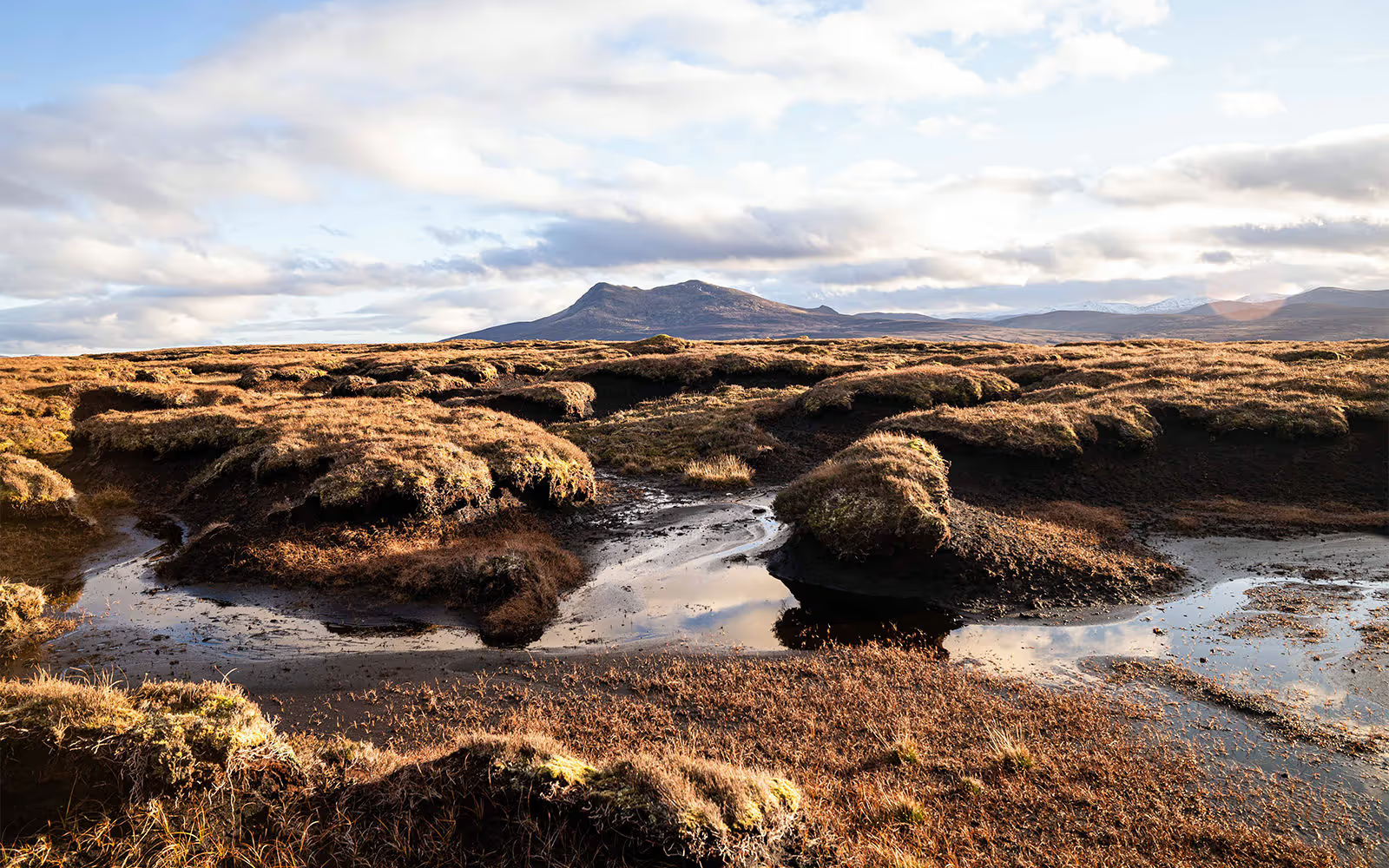
Peatland erosion accounts for approximately 3.5% of the UK's total carbon emissions, a significant yet often overlooked contributor to the climate crisis. Restoring these vital ecosystems requires detailed mapping of erosion features and comprehensive restoration planning, work traditionally carried out through manual expert assessments.
This approach is costly, time-consuming, and prone to inconsistency. Projects frequently begin without complete erosion data, leading to inaccurate cost projections and inadequate monitoring. Similar challenges exist across woodland and other nature capital domains, creating uncertainty in carbon credit verification and limiting the scale at which restoration can be delivered.
Deep learning for erosion detection and restoration planning
We developed custom deep neural networks leveraging modern transformer architectures trained on geospatial data to accurately map peatland erosion from 3D depth maps, aerial imagery, and drone captures. The system combines semantic segmentation with multiple input backbones, custom loss functions, and patch cross-attention mechanisms, dramatically accelerating the mapping process while improving accuracy and consistency.
Supported by a £250,000 Innovate UK grant awarded jointly with Caledonian Climate Partners, we extended the platform to include AI-driven restoration planning. This enables accurate upfront cost estimation directly from erosion maps, allowing project developers to plan and budget with confidence before work begins.
A subsequent UK Space Agency grant expanded these capabilities to forestry, developing digital MRV solutions for Woodland Carbon Code projects across the UK. This demonstrated the broader applicability of our approach beyond peatlands to nature capital as a whole.
90% less manual effort and 5x faster verification
This work culminated in the launch of Calterra, a joint venture between New Gradient and Caledonian Climate Partners. Calterra is a comprehensive digital monitoring, reporting, and verification platform that reduces manual mapping effort by 90% and enables 5x more frequent carbon verification cycles.
The platform equips developers with integrated tools for restoration acceleration: automated erosion mapping, AI-powered restoration planning, continuous carbon tracking, and end-to-end project management. By replacing manual processes with intelligent automation, annual verification cycles become feasible rather than the traditional 5-10 year intervals.
This increased frequency delivers greater confidence to investors and landowners, providing ongoing visibility into restoration progress and carbon outcomes. Backed by two UK government grants (Innovate UK and UK Space Agency), Calterra is seeing strong early traction across peatland and woodland projects.